Isla Hornos – The Southern Sentinel of the Americas
Located at the southern tip of South America, Isla Hornos, also known as Cape Horn Island, is a remote and wind-swept isle that marks the northern boundary of the Drake Passage. This isolated landmass holds both geographical significance and historical mystique as a legendary maritime waypoint feared by sailors for centuries.
Location and Geographic Context
Isla Hornos lies within the Chilean commune of Cabo de Hornos, in the Antártica Chilena Province, part of the Magallanes and Chilean Antarctica Region. The island is part of the Hermite Islands group, nestled at the southern end of the Tierra del Fuego archipelago. Situated at approximately 56°S latitude, it is often cited as the southernmost island of the South American continent, although some smaller islets and rocks lie even further south.
Geographically, Isla Hornos occupies a strategic maritime location. It forms the conjunction between the Atlantic and Pacific Oceans, standing sentinel over the treacherous Drake Passage—a stretch of ocean renowned for its turbulent weather and rough seas. The island itself is relatively small, about 12 square kilometers in area, and is characterized by rugged cliffs, steep terrain, and scant vegetation.
Geological and Climatic Features
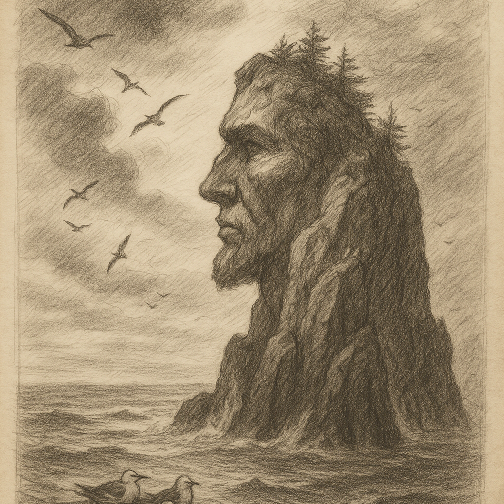
Formed by ancient geological activity associated with the movement of the South American and Scotia tectonic plates, Isla Hornos is a product of millennia of orogenic uplift, coastal erosion, and oceanic weathering. The island’s dramatic cliffs rise sharply from the surrounding sea, while its highest point—Cerro de los Navegantes—elevates to around 425 meters above sea level.
Due to its extreme southern latitude, Isla Hornos endures a subpolar oceanic climate. Harsh winds, frequent precipitation, and cloud cover dominate the weather throughout the year. Summers are short and cool, and winters are long, damp, and windy. The notorious westerly winds from the “Furious Fifties” and “Screaming Sixties” latitudes batter the island relentlessly, contributing to its infamous maritime reputation.
Flora and Fauna
Despite its bare and windswept appearance, Isla Hornos supports a fragile yet unique ecosystem. The flora consists mainly of mosses, lichens, and hardy grasses able to cling to life in poor soil and constant wind. There are no trees due to the severe weather conditions.
The island is a nesting site for several seabird species, including albatrosses, petrels, and skuas. The surrounding waters of the Drake Passage are rich in marine biodiversity, hosting whales, seals, and penguins that occasionally venture near the island. Due to its ecological significance, Isla Hornos and the surrounding region are part of the Cabo de Hornos Biosphere Reserve, a UNESCO-recognized environmental protection area.
Human Presence and Historical Significance
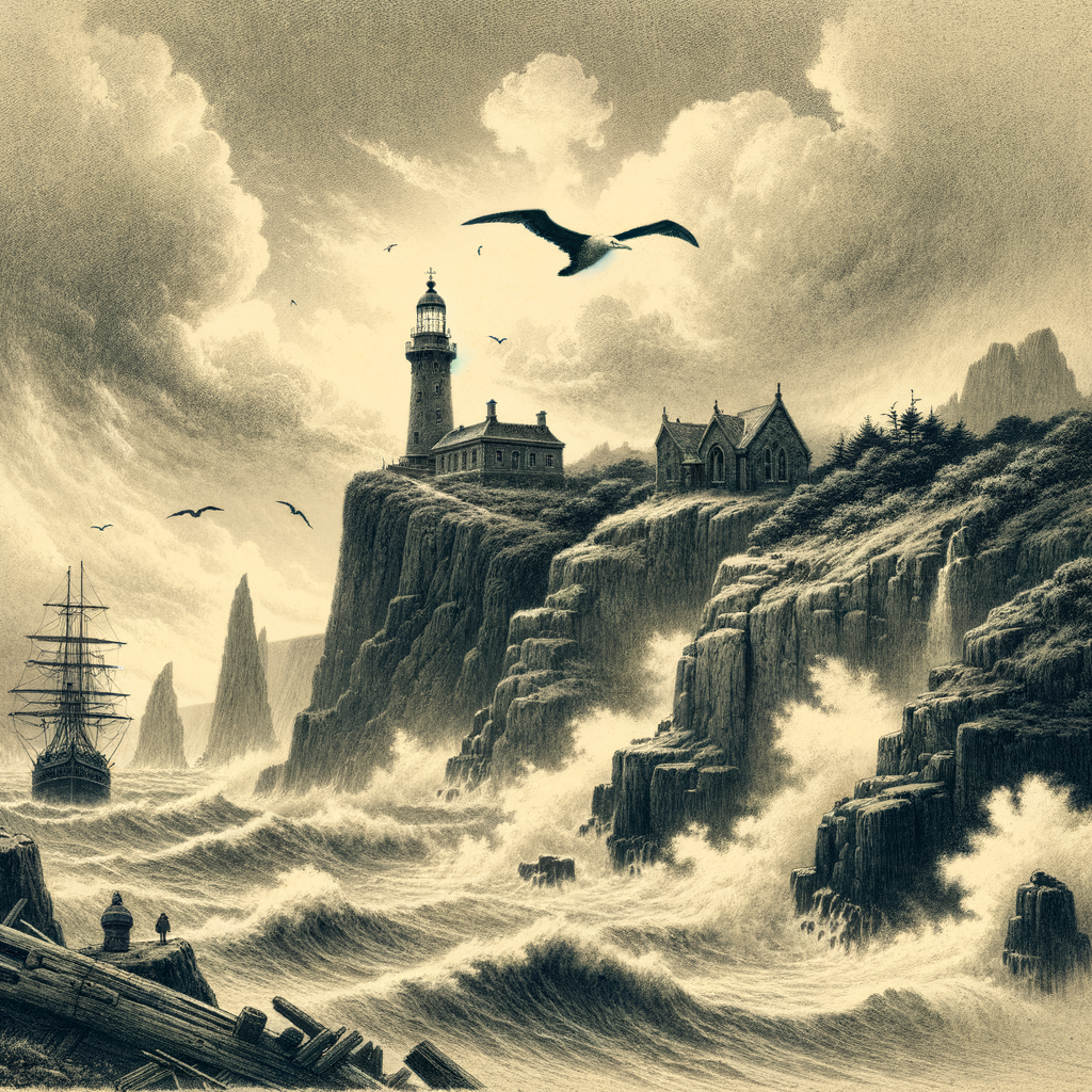
Isla Hornos has no permanent residents, but a Chilean naval station operates on the island, staffed by personnel monitoring maritime traffic and maintaining the safety of the historic lighthouse perched atop the island’s cliffs. The farostation includes a chapel, a weather station, and basic housing for navy staff and their families, usually rotating on a yearly basis.
Cape Horn was first rounded in 1616 by Dutch explorers Willem Schouten and Jacob Le Maire, who named it Kaap Hoorn in honor of the Dutch city of Hoorn. Historically, the island became a major route for 19th and early 20th-century clipper ships traveling between Europe and the Pacific, particularly before the opening of the Panama Canal in 1914. The route, however, was so dangerous—often described as “a sailor’s grave”—that it led to numerous shipwrecks and gave the island a fearsome reputation among mariners.
Curiosities and Notable Facts
Isla Hornos is home to the world’s southernmost lighthouse, which has operated since 1991 and has become an iconic symbol for sailors. Near the lighthouse stands the Cape Horn Monument—a striking sculpture dedicated to sailors who lost their lives attempting to round the horn. The sculpture, representing an albatross in flight, was inaugurated in 1992 and has since become a pilgrimage point for maritime enthusiasts.
Additionally, while not as well known as the Galápagos or Easter Island, Isla Hornos has intrigued adventurers and conservationists alike. Its inclusion in the Cape Horn Biosphere Reserve has encouraged scientific study of its unique climate and endangered ecosystems. The island is one of the few places on Earth where atmospheric scientists can monitor clean air unaffected by industrial pollution, making it a valuable site for climate research.
Legends and Maritime Myths
Cape Horn’s legacy extends beyond geography and science—it delves into myth and maritime lore. Among the most enduring tales is that of the “Ghost Ships of Cape Horn,” a legend stating that the spirits of sailors lost at sea still navigate the passage as spectral vessels glimpsed during storms.
According to another maritime belief, sailors who successfully rounded Cape Horn were entitled to wear a gold earring and had the right to place one foot on the table as a symbol of their bravery. It was also said that those who rounded all three great capes—Cape Horn, the Cape of Good Hope, and Cape Leeuwin—were granted the right to put both feet on the table.
Sailors have long recited a poetic tribute to the many souls claimed by the dangerous seas around Isla Hornos:
“Below the 50th parallel south,
There are no rules and no mercy.
Only those who have danced with death
May say they’ve seen Cape Horn.”
These legends contribute to Cape Horn’s enduring mythos as a place of both majesty and menace—where ocean and wind rule supreme, and human endeavor is constantly tested.
Access and Preservation
Due to its remote location and unpredictable weather, access to Isla Hornos is limited. Most visitors travel by sea on guided cruises through the Beagle Channel and around the island. All visits are coordinated with the Chilean Navy and typically include a brief landing near the lighthouse, weather permitting.
Modern emphasis on conservation has placed strict controls on human impact. The Chilean government has prioritized the protection of the island’s flora and fauna, and the broader Cape Horn Biosphere Reserve is a model for sustainable ecological tourism.
Conclusion
Isla Hornos is more than a geographic landmark; it is a symbol of human resilience and nature’s uncompromising power. Dangerous yet captivating, it stands alone at the edge of the world—offering inspiration for explorers, challenges for sailors, and wonder for all who dare to glimpse its shores.