Overview of Baker Island
Baker Island is a small, uninhabited atoll located in the central Pacific Ocean, just north of the equator. It is part of the United States Minor Outlying Islands and is administered by the U.S. Fish and Wildlife Service as part of the National Wildlife Refuge system. Remote and windswept, the island covers an area of just 1.64 square kilometers (0.63 square miles) and is surrounded by coral reefs. Baker Island lies about halfway between Hawaii and Australia and approximately 3,100 km southwest of Honolulu.
The island is low-lying, with the highest point rising only about 8 meters (26 feet) above sea level. Its dry, equatorial climate and lack of freshwater make it unsuitable for permanent habitation. Today, Baker Island remains largely untouched by human activity, preserved primarily for its ecological and historical value.
Geography and Environment
Baker Island is formed from a coral atoll sitting atop an ancient volcano that has long since eroded beneath the surface. The island has a sandy, infertile terrain with sparse vegetation, including grasses, herbs, and low shrubs. There are no natural sources of fresh water, which contributes to the uninhabitable conditions.
The surrounding coral reef ecosystem is biologically rich, supporting a variety of marine species, including colorful fish, mollusks, and sea turtles. In 2009, the area was protected under the Pacific Remote Islands Marine National Monument, highlighting the ecological importance of its surrounding waters and fragile habitats.
The island serves as an important nesting site for seabirds, particularly terns, boobies, and frigatebirds. Due to its isolation, the island’s environment is relatively pristine, although past human activities left some residual ecological impacts.
Historical Significance
Baker Island has a history that is both intriguing and turbulent. It was officially claimed by the United States under the Guano Islands Act of 1856, like many other remote Pacific islands. For a time, Baker Island was mined intensively for guano, a valuable resource at the time used as fertilizer. Guano mining operations were conducted by American companies until the early 20th century.
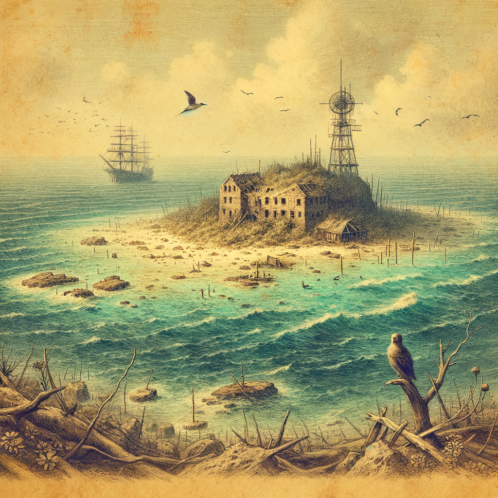
In the 1930s, the U.S. government attempted to colonize Baker Island as part of the American Equatorial Islands Colonization Project. A small group of Hawaiian youths, known as colonists, were sent to live temporarily on both Baker Island and nearby Howland Island to lay a preemptive claim for the U.S. However, the venture was short-lived. Life on the island proved harsh due to the lack of water, storms, and the arrival of World War II, which eventually led to the evacuation of all personnel in 1942 following Japanese air raids.
Notable Features and Facts
Today, Baker Island is officially uninhabited and access is restricted to preserve the ecosystem and the remnants of its historic sites. Despite its small size, the island holds considerable scientific interest. Key facts about Baker Island include:
– It is part of the National Wildlife Refuge system and managed as a refuge for migratory birds and marine life.
– Remnants of the early 20th-century colonization efforts, including building foundations, rusted equipment, and radio towers, are still visible on the island.
– The island is a designated Important Bird Area (IBA), supporting nesting populations of seabirds such as sooty terns, red-footed boobies, and Pacific reef‐herons.
– Its isolated location has made it a unique site for ecological research and monitoring, particularly in the study of coral reef health and climate change.
– Baker Island has no ports or harbors and is surrounded by a perilous reef, making landings difficult and risky.
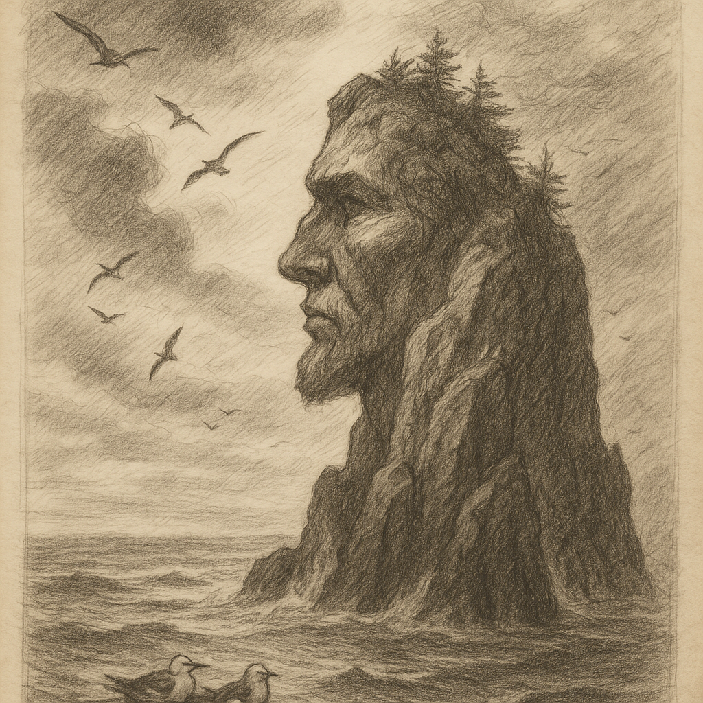
Myths and Legends
While Baker Island lacks the deep native mythologies often associated with inhabited islands, its stern and lonely presence in the vast Pacific has inspired certain legends and mysteries, particularly among aviation enthusiasts and historians. One such focus is the alleged connection to famed aviator Amelia Earhart.
Some theories suggest that Amelia Earhart and her navigator Fred Noonan might have aimed for, or inadvertently reached, Baker Island when they disappeared during their 1937 world flight attempt. Supporters of this theory argue that the island’s position—close to their intended path—makes it a plausible candidate for an emergency landing. However, no credible evidence has ever been found on Baker Island to support this claim, and the mystery of Earhart’s disappearance endures.
Mariners and aviators in the mid-20th century have also reported feeling a mysterious presence or unease near the island, reinforced by the visible remnants of the abandoned settlement and the battered landscape—described by some as ghostly under moonlight. These tales, while unverified and often passed along informally, contribute to Baker Island’s lore.
Present-Day Status and Protection
Baker Island is now a protected U.S. territory under the jurisdiction of the Department of the Interior. It is part of the larger Pacific Remote Islands Marine National Monument, which safeguards the island’s terrestrial and marine environments from exploitation. No commercial or recreational activities are permitted, and access requires special scientific or conservation-related permits.
Infrequent scientific expeditions visit the island for ecological monitoring, restoration studies, or historical documentation. Visitors arrive by boat, navigating the treacherous surrounding reefs with great caution. Several projects under the U.S. Fish and Wildlife Service aim to remove invasive species and restore the habitat to support native seabird populations.
Baker Island stands as a testament to both natural resilience and the impermanence of human endeavors. Though it has hosted miners and colonists in the past, today it is a sanctuary — silent and remote — where nature and the past continue to coexist on the edge of the Pacific.